Lacey Green & Loosley Row
Home Hall-Hire Contact Us Local Places Clubs Community Business Hallmark Links
Lacey Green & Loosley Row


Lacey Green & Loosley Row Lacey Green & Loosley Row


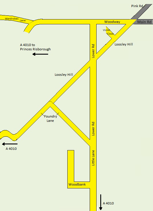
   Loosley Row Street Map   

Loosley Row Street Map
LOCAL KNOWLEDGE QUIZ
HOW WELL DO YOU KNOW THE AREA?
HOW OBSERVANT ARE YOU?

The pictures are taken within a two mile radius of Lacey Green Village Hall - they may be further when you walk.
Can you identify where they are or where you would be to take the picture?
The idea is to get out and walk the area to find them.
Trespassing is not required.


   Lacey Green Street Map   
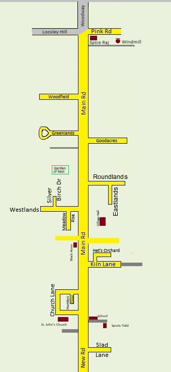
Lacey Green Street Map

Shortest walk from start

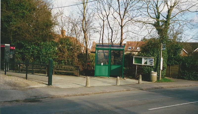
1. An easy one to start you off...

×

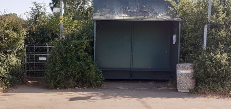
Location: Right outside the Village Hall.

The stop was moved from the old Village Hall front onto this triangle around 1978 to leave a pathway through to Eastlands.

Metal men

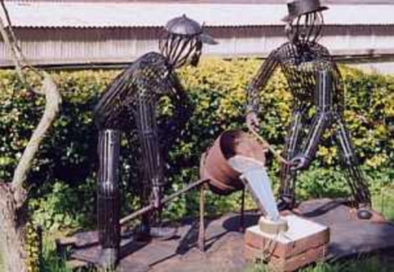
2. Metal men metal working  

×

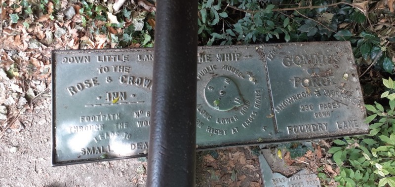
Location: Foundry Lane, Loosley Row nr Loosley Hill

Gommes forge is still open for business.
They built and erected the bus stop at 1. in 2002

Horse

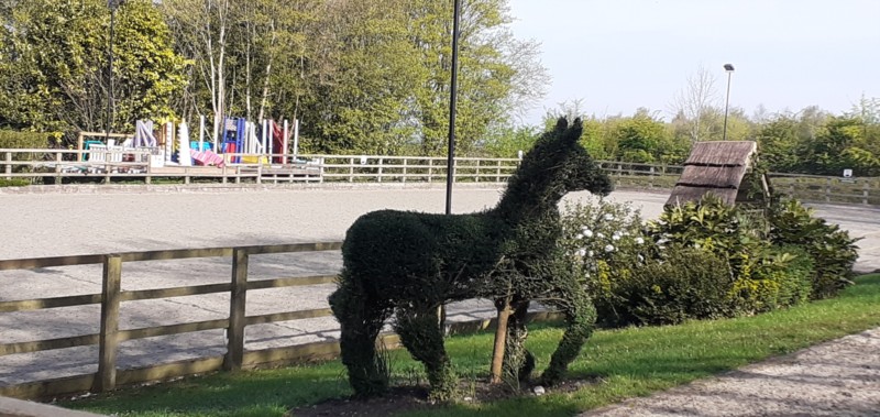
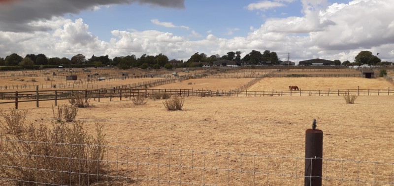
3. Yes, it is a horse?

×

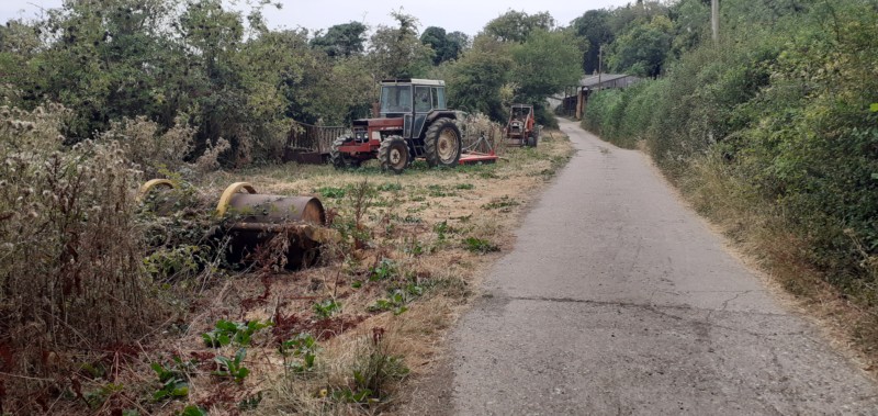
Location: On the Chiltern Way,
where it passes through Collins Farm

Chiltern Way is Accessible from Foundry Lane (Last bend before A4010)
- go right
or from Lower Rd 130 yards on left from Loosley Hill towards Woodway.

Getting harder

* *
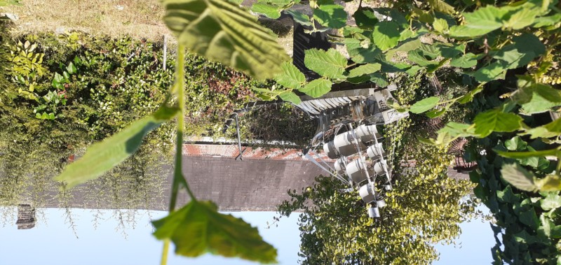
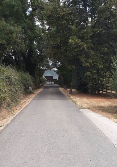
Frigate

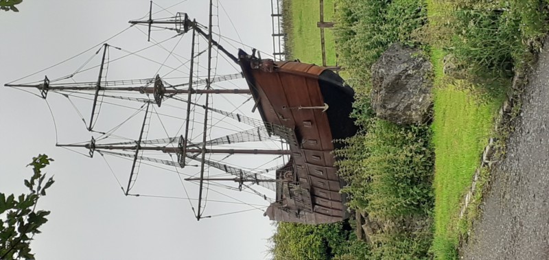
4. Couldn't be further from the sea.

×

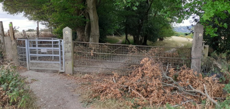
Location: Kiln Lane 1/2 mile past the Tarmac surface

This old style replica of an English warship is almost life-size.

Best view is subject to gates being open.

Woodway, Wardrobes

5. Looking up where? From - where?

×

Location: Woodway junction Wardrobes Lane

You are looking up towards the Whip P.H.

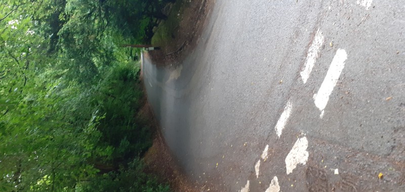
Ahead to Lacey Green; right to A4010; Back along Wardrobes to the Pink & Lily

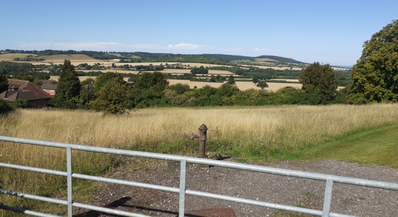
Chiltern Way/Lilley Bottom

6. This is part of a long walk.

×

Location: On the Chiltern Way
just after it crosses Lily Bottom Lane

Take Chiltern Way accessible from bus stop next to Whip PH - one mile, or:
1/3 mile from Pink & Lily down Lily Bottom Lane

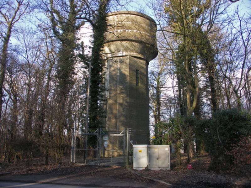
Water Tower

7. Highest point around at 247 metres (810 feet).
×

Location: In an area known as Green Hailey
at the top of Kop Hill, Princes Risborough
over the road on St. Peters Lane.

To walk take either
1. Public footpath between Wardrobes Lane and Woodway towards P. Risborough. After one mile you reach a stile and a wider path - The Upper Iknield Way - turn right passing the school and crossing New Rd. 1/4 mile further branch right for a tough climb to St Peters Lane and the Tower.
2. Or, to Avoid a climb take Pink Rd to the Pink & Lily. On the bend apex is a public footpath with a sharp right turn after 40yds. This goes all the way to St Peters Lane where you turn left - 1/2 mile to Tower.

Grubbins 2

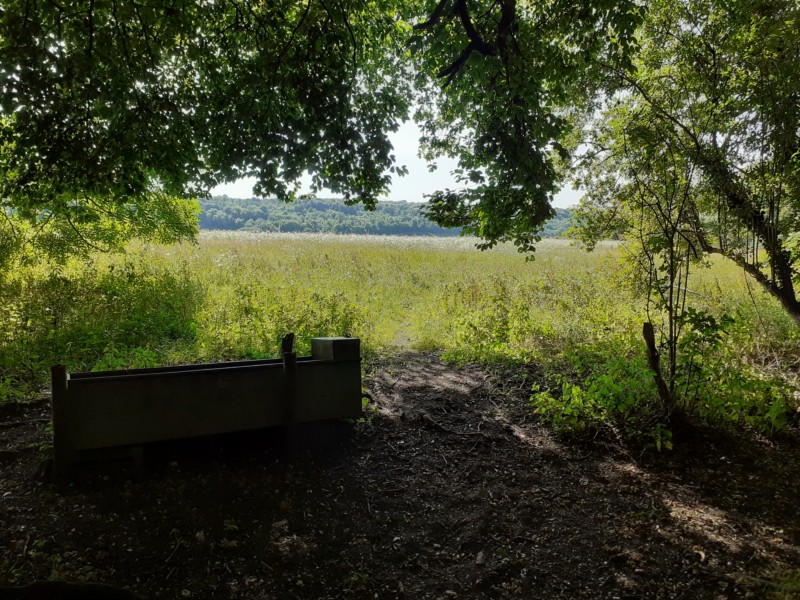
8. It's a drinking trough.

×

Location: 2nd Copse of trees along The Grubbins
Public path from Little Lane/Foundry Lane across to Small Dean Lane.

Trough originally for farm animals but fences have gone. Most trees were cut down and the roots were 'Grubbed' out - hence its name.

The Grubbins also led to a now extinct village called Coombs.

Entrance Widmer Feeds

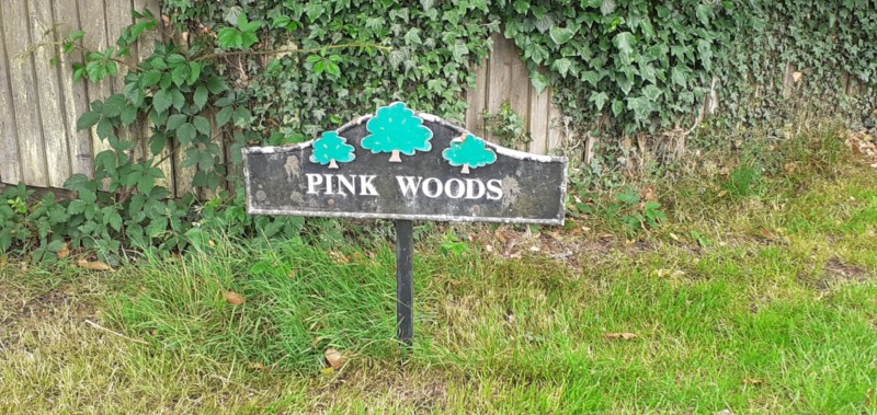
9. Where precisely is the sign?

×

Location: Pink Rd, 750 yds from Whip P.H.
at entrance to Widmer Feeds

Over the fence is a copse of trees and a house at the rear of the same name.

Easier to spot coming in the opposite direction

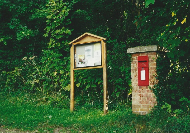
Lower Rd Post box

10. Today not so prestine!

×

Location: Lower Rd on the East (uphill side)
half way between Woodway and Loosley Hill.

This is an Elizabethan post box.
The notice board is maintained by the Parish Council.

There is a Georgian and even a Victorian box within the villages.

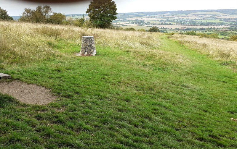
Above Princes Ris

11. Think-2 miles then 15?

×

Location: Brush Hill Nature Reserve at Green Hailey -
the top of Kop Hill.

If you turn left at the top of Kop Hill down St. Peters La, you have a choice:
1 Turn left into the copse of trees and take the circular path to the rear where there is an exit and from where this picture was taken. This Ordnance Survey Trig point is at 234m, or...
..2 Turn right into the car park and then left. Leave the rear of the car park and turn right. 100 yards further and you have an incredible view of some 20 miles down the Aylesbury Vale.

On top of the Trig point is a guide to where you are looking.

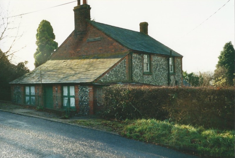
Harveys Store

12. This has history.

×

Location: Lower Rd, West (downhill) side,
80yds from Loosley Hill

One of a few houses that come up to the pavement edge.
Now modernised and extended with many things on the wall below the chimney that indicated it was a shop being removed to make it a private dwelling.

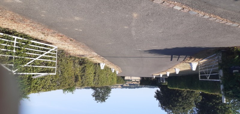
College Farm

13. Not a public road!

×

Location: Foundry Lane 160yds West from Loosley Hill.

This is the entrance to College Farm, originally known as Bailiol College,
the road goes right round the back of the property.

One of several farms we might discover in our two villages.

Loosley Hill 14. Well?

×

Location: Loosley Hill, on the bend 130 yds down from Lower Rd

This type of well required pumping the water up using a lever into a container and then carrying various distances. Jack and Jill comes to mind.

Before the water tower (no.7) and 1934 when pipes were laid, this, and others wells and ponds were the only way to get a sufficient water supply.

Chiltern Way/2nd field.

15. Where are you? Clue on horizon.

×

Location: On the Chiltern Way and Windmill Farm
three whole fields East of the Whip bus stop entrance.

You are looking at the Windmill through a gap in the trees from the far side of the third field. Houses you would see in the distance to your right are in Pink Rd.

The field is subject to various changes in crops but the path remains.

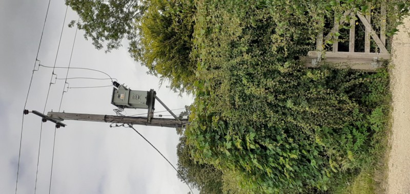
Elevated Substation Pink Rd

16. Only found one of these!

×

Location: Pink Rd, just over 500yds from the Whip P.H.

You might wonder what this is?
It's a power substation dealing with overhead power cables.
These are usually seen fenced off on the ground and bigger
but then there are only a dozen houses along here.

Not something you want obstructing your view.

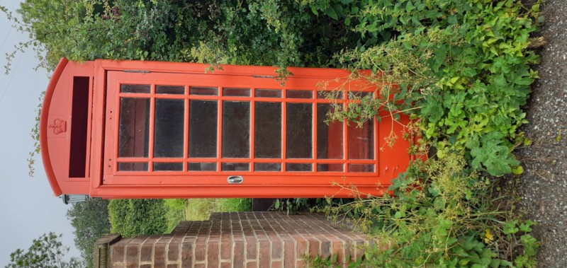
Ex Scout Hut?

17. Sorry doesn't work!

×

Location: Kiln Lane 1/2mile past the Tarmac surface.

This phone box is only of historical interest,
it is one of many interesting exhibits along this part of Kiln Lane.

Go take a look.

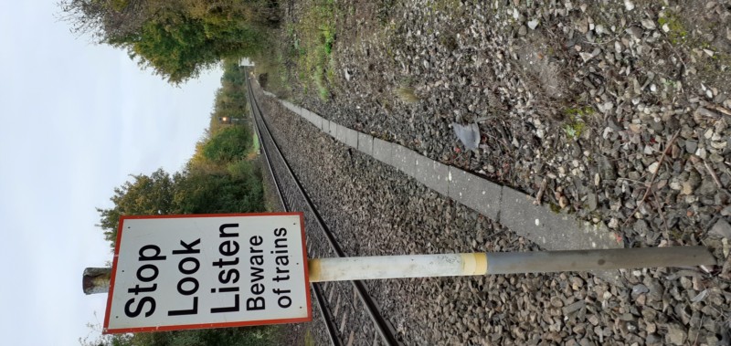
PR bound Rail Xing

18. How do you get here?

×

Location: Princes Risborough Golf Club
350yds NW of the Clubhouse.
(The Club won't appreciate your using that route - see below)

From Foundry Lane enter the Chiltern Way via Collins farm, (apex of last bend before A4010) then go left,
keep to the right of the wood (field to your right). Cross A4010 and pick up the path on the other side.
Keep straight until you hit the hedge/trees alongside the Wycombe bound rail and turn right.
(Over the hedge, the tracks to and from Risborough are diverging).
Stay with the hedge and after 500 yrds follow the Chiltern Way branching to the left.
40 more yds and this goes over a railway bridge (Wycombe line).
(150 yds more the Chiltern Way goes right - ignore) Keep straight a further 50 yds and you reach your destination.

The path then veers left through the golf course but away from the clubhouse.

Foundry Frigate

19. Another Sail Ship?

×

Location: Foundry Lane, 35yds from Loosley Hill

Another exhibit from nearby Gommes Forge.

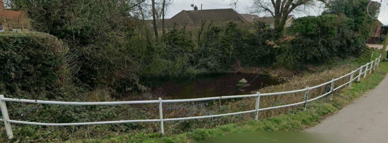
4 The Hillocks Lilley Bottom

20. A Bodger lived here - it's one of four.
×

Location: Lily Bottom Lane
70yds from Pink Rd and the Pink & Lily P.H.

An area known as Parslows Hillocks, the houses are aptly named as Hillock cottages. This one has a history conected to the Bodgers of this area. There is a monument in Wycombe (next to/under the University near the hospital) dedicated to the bodgers who were fundamental to Wycombes' furniture industry in the early 1900's.

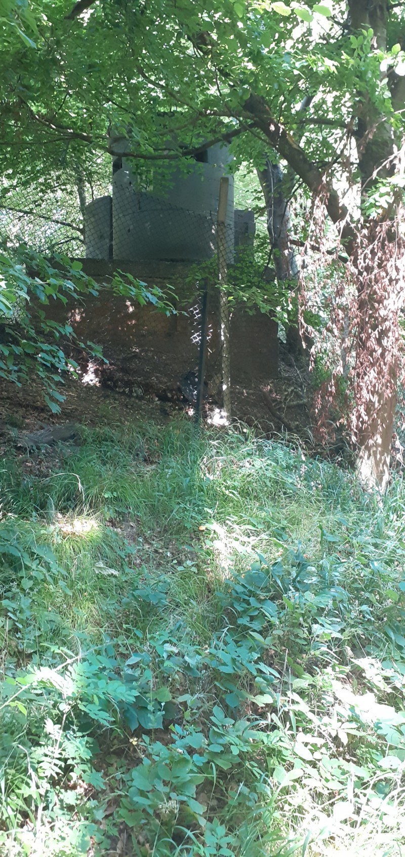
Kiln Lane Pond

21. Only one to find round here
or is it
these were once numerous.
×

Location: Kiln Lane just before the end of the Tarmac.

This is named Deep Pit and was actually a source of drinking water (yeukk!). It is the only real survivor of numerous ponds once in the area. It has constantly changing wildlife and receives rainwater from the rest of Kiln Lane.

RAF

22. What & Where?

×

Location: Rear corner of RAF base,
1/2 mile South East of Smalldean La

250 yds down Smalldean Lane from New Rd. Turn left at the 5 bar gate (there is a side entrance).
Then keep walking.
After half a mile you will pass these lookout points - probably built when the trees were much smaller.
Wartime "lookout boxes," commonly known as pillboxes, were small, reinforced concrete forts built during World War I and II.
Britain constructed roughly 28,000 of these defensive posts along coasts and airfields to spot enemy movements.
The RAF base has always been a command centre and lacks an airfield, save for helicopters.
Bomber Command designed the site to blend in with the surrounding area (from the air at least).
Take the path left after the pill boxes and it circles the base bringing you out in New Rd.

Grubbins Lane Speen?

23. Hard one! Again further afield.

×

Location: On the right corner of start of Grubbins La, Speen

As flower Bottom La. reaches the top of the hill Grubbins Lane is on the left and Speen School 20 yds further on the right. Good observation skills required.

Grubbins Lane goes all the way to the Pink & Lily (1.5 miles).

Loosley Hill just below Lower Rd

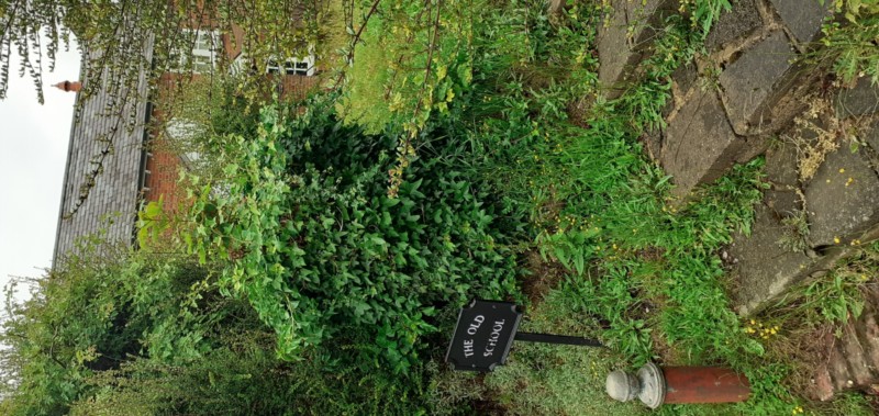
24. Another former school.

×

Location: Loosley Hill just down from Lower Rd.

Still called The Old Schoolhouse but little is known.
One of our long term residents makes reference to her mother going there in a 10 min talk with pictures.

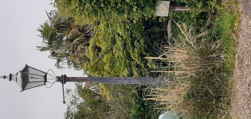
Sports Pavillion

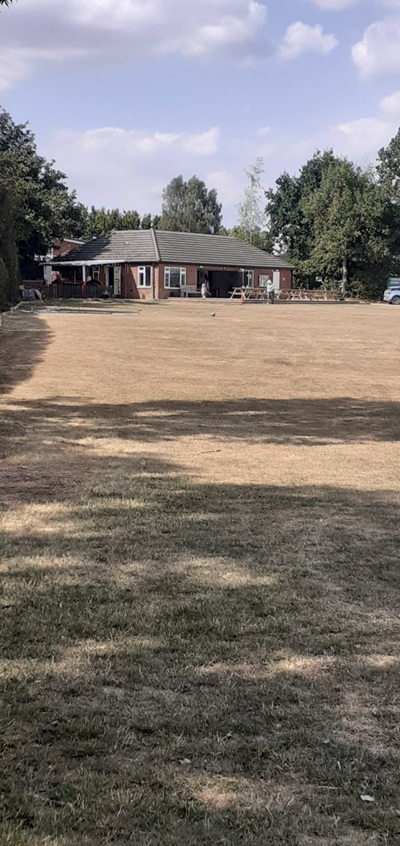
25. More obvious than you might think?
×

Location: Next to St. Johns School, opposite the Church.

Picture taken from Slad Lane, corner Main Rd.
The Sports Club is very active with Tennis Courts, Cricket and Football pitches.
Not forgetting the Childrens Play Park in the far corner.
The Clubhouse also serves as an alternative, albeit smaller, venue to the Village Hall.

Grubbins, next to

26. Very near The Old School.

×

Location: 40 yds down Grubbins Lane, Speen (From Flowers Bottom La).

If you spotted The Old School, you should have seen this.
Originally it was probably gas lit.
Not known if it works - gas or electric.

Just something unusal to spot.

On the school

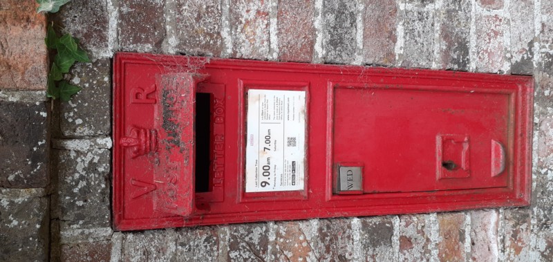
27. A rare Post Box

×

Location: St. John's School,
Main Rd., Lacey Green.

Victoria's reign began in 1837 so it is likely the post box was fitted at the same time the school was built - c1875. You can work out how long its been there.
Mail used to be smaller then.

A Concrete Block, a Hedge & a Wall...

Path between Promised land and Grubbins

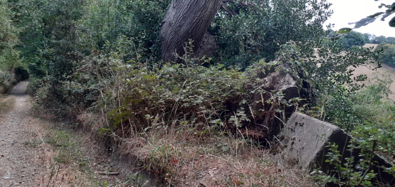
28. What's this all about?

×

Location: Public footpath between
Promised Land Farm and the Grubbins

From Church Lane take the Public footpath through Lane Farm.
Down the hill to join and cross the main track from Promised Land Farm,
then straight on up the hill on the other side.
Alternatively enter the main track to Promised land just South of Greenlands on Main Rd.
Turn right just before entering the farm.
1/2 up the hill is this completely isolated fallen concrete block the purpose of which is a mystery.
It needs heavy equipment just to move it.
Nature of course has its own way of dealing with it.

There is another route here but see if you can work that out for yourself.

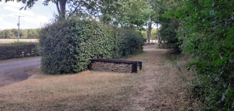
Promised land to Grubbins?

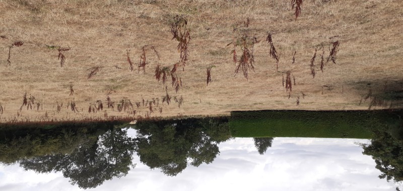
29. Pristine Hedge in middle of a field?
×

Location: In the field opposite Hambye Close, Church Lane.

It certainly looks a little strange from the public footpath through the middle of this almost wild area with no building nearbye.
From the air however, a tennis court can be seen on the other side.

Try Google Earth and search HP27 0PL.

Bottom Collins Farm

30. A wall here?

×

Location: On the Chiltern Way
bottom of Collins Farm off Foundry Lane.

Well maintained attractive little wall that matches another further up the hill but the purpose here is a mystery.
It may just be adding a feature where otherwise there are none?.

Just something unusal to ponder.

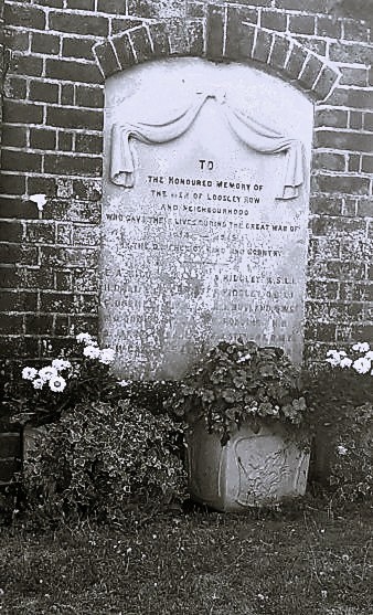
Loosley Hill War Mem.

31. Lest we forget.

×

Location: 50 yds up Loosley Hill from Lower Rd
set back on the right (Sth side).

Entrance to Loosley Row Baptist Cemetery.
A Memorial to the Veterans who lost their lives in the Great War (WWI).
There are just 12 names on here but there were many more from our two villages and Speen.
A terrible loss of men in just a small area.

See just how terrible this war was and a full list of villagers who died. HERE

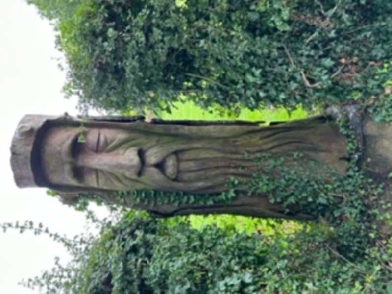
Kiln Lane

32. Wood topiary?

×

Location: Kiln Lane 1/2 mile beyond the Tarmac.

A totem pole perhaps or was it carved out on the spot from an old tree stump?
Just one of the many interesting features along Kiln Lane.

Kiln Lane is even more interesting than the images displayed here.

Stocken Farm

33. Seemingly, quite an entrance.

×

Opposite Church Lane (north) on Main Rd.

This is the road into Stocken Farm. The fields on either side are part of the farm.
Not easily seen - there is a huge complex of buildings at the end
including living accommodation for staff, farm machinery and a large herd of milking cows and other animals. There are some 200 acres to farm.

Talking of entrances...

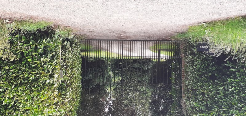
Collins Farm

34. Can be seen from the Chiltern Way.
×

Location: Foundry Lane - 200 yds from the visible A4010

This is the rear entrance to Collins Farm.
The Chiltern Way passes by on the other side.
Pedestrian access is just 50 yds further along on the bend.

The Farm has horse riding and stabling facilities.

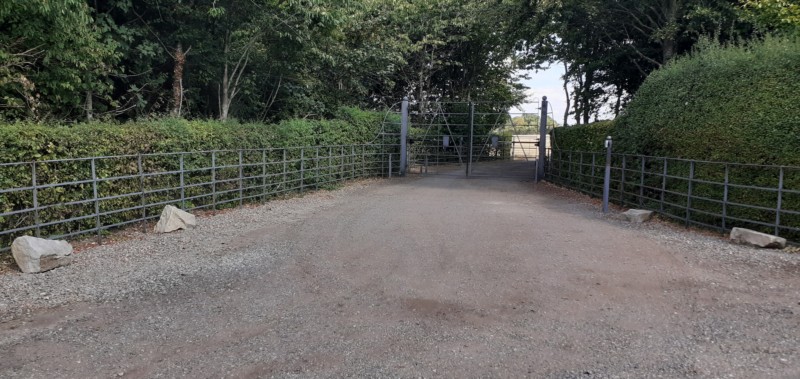
Deep Meadows Farm

35. Smart iron gates.

×

Location: Pink Rd
- 1/3 mile from the Whip P.H. opposite Pink Woods.

Deep Meadows Farm is on the escarpment edge overlooking Princes Risborough and the Aylesbury Vale
Pink Rd to Parslows Hillock is a mile long and it's the only accommodation on that side of Pink Rd.
What a privilege.

There is a public footpath to Woodway to the left of the other entrance.

Loosley House

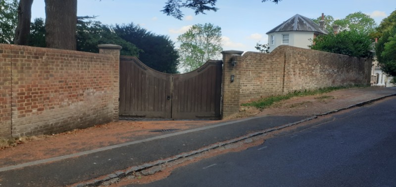
36. Heavy strong wooden gates

×

Location: Lower Rd at junction with Woodway.

This country mansion has now been split into three separate dwellings
each with a super view of the Aylebury Vale.

Travel with Stile...

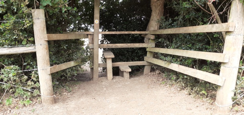
Church Lane to Westlands

37. Prestine but where is it?

×

Location: 150yds from Footpath starting opposite
Hambye Close, Church Lane.

This currently well maintained stile continues to a field behind Meadow Rise.
Cross this field to the Westland allotments.

The allotments appear to be falling into disuse.

Deep Meadows Farm

38. A stile with directions.

×

Location: Lower Rd/Little La. opposite Foundry La.

This stile over a five bar gate provides access to
the Grubbins path all the way to Smalldene Lane.
Another example of the work of Gommes Forge.
The directions thereon should have provided clues to where it is.

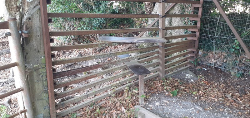
Grubbins to Promised Land

39. Another iron stile.

×

Location:
To the left of the first gate on the Grubbins path after Lower Rd.

This path leads down the hill to Promised Land Farm
and up the other side to Church Lane
Or turn left at Promised Land up to Main Rd past the allotments at Westlands.

Somewhere close by here was a now extinct Hamlet called Coombe

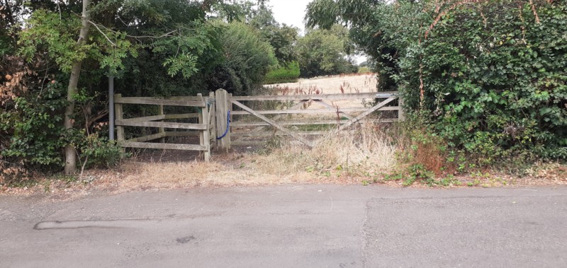
Being fast replaced by 'kissing' gates...
Church Lane Hambye Close

40. Location with a twin.

×

Location:
Church Lane opposite Hambye Cl.

Many of the other locations started here so no excuse for not recognising this.
The twinning refered to a now lapsed association with a town in Normandy, France - Hambye.
Hence Hambye Close the newest street in Lacey Green - and it shows.

Grubbins Coombs

41. Easier than the old style.

×

Location:
The first gate on the Grubbins path after Lower Rd.

The old stile was hard to negotiate and often needed repairing so this new metal gate makes it easier with less maintenance.
Only drawback is the removal of a bit of our heritage.

Somewhere close by here was a now extinct Hamlet called Coombe

Whip

42. Join the Chiltern Way

×

Location: By the Windmill & Whip P.H.

You could see this as the start of the Chiltern Way. However the path goes down Loosley Hill,
right at Lower Rd and left through Collins Farm and on to Bledlow and Stokenchurch.
The gate here leads on to the A413 between Gt Missenden & Wendover via Parslows Hillock and St. Peters Lane.

To be continued ..........